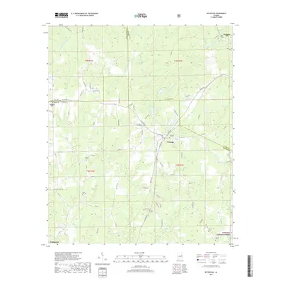
2018 Map of Notasulga
USGS Topo · Published 2018About this map
Notasulga serves as the primary hub of this landscape at the intersection of the Lee and Macon county lines. The town’s layout reflects its development along the central railroad corridor, with landmarks like the Notasulga City Cem and Notasulga City Lake defining the local geography. To the north, the terrain is shaped by the winding path of Sougahatchee Creek and its many tributaries, including Ropes Cr and Cane Cr. This area also retains evidence of early industrial activity at McRitchie Mill near the Page Bridge.
Find a feature on this map
100 named features on this map. Tap any name to fly to it.
Don’t see what you’re looking for? This feature index may not catch every label — zoom into the map to look around manually.
Map Details
Editions of this 2018 Notasulga Map
This is the sole edition of this map. No revisions or reprints were ever made.
Other maps of this area

1906 · Dadeville
USGS Topo · 1:125,000

1955 · Phenix City
USGS Topo · 1:250,000

1957 · Phenix City
USGS Topo · 1:250,000

1958 · Phenix City
USGS Topo · 1:250,000

1971 · Waverly
USGS Topo · 1:24,000

1971 · Ponders
USGS Topo · 1:24,000

1971 · Little Texas
USGS Topo · 1:24,000

1971 · Carrville
USGS Topo · 1:24,000

1971 · Loachapoka
USGS Topo · 1:24,000

1971 · Tuskegee
USGS Topo · 1:24,000