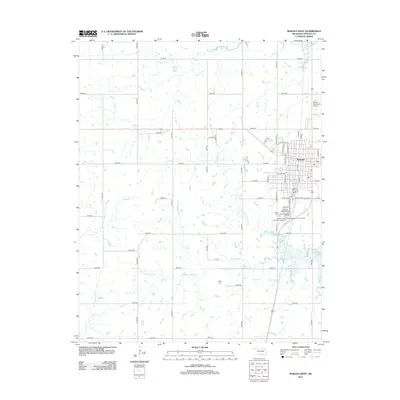
2013 Map of Nowata West
USGS Topo · Published 2013About this map
Nowata serves as the focal point of this northeastern Oklahoma survey, situated at the confluence of local history and modern infrastructure. The landscape is defined by the Western Br Verdigris River and the northern reaches of Oologah Lake, where the terrain is dissected by numerous named drainages including Purgatory Cr, Mormon Cr, and the two forks of Double Creek.
Find a feature on this map
64 named features on this map. Tap any name to fly to it.
Don’t see what you’re looking for? This feature index may not catch every label — zoom into the map to look around manually.
Map Details
Editions of this 2013 Nowata West Map
This is the sole edition of this map. No revisions or reprints were ever made.
Other maps of this area

1901 · Nowata
USGS Topo · 1:125,000

1914 · Nowata
USGS Topo · 1:125,000

1954 · Tulsa
USGS Topo · 1:250,000

1958 · Tulsa
USGS Topo · 1:250,000

1963 · Tulsa
USGS Topo · 1:250,000

1970 · Bartlesville SE
USGS Topo · 1:24,000
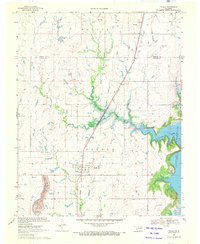
1970 · Talala
USGS Topo · 1:24,000
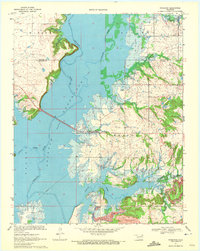
1970 · Winganon
USGS Topo · 1:24,000

1972 · Blue Mound
USGS Topo · 1:24,000

1972 · Nowata West
USGS Topo · 1:24,000