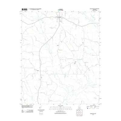
2012 Map of Noxapater
USGS Topo · Published 2012About this map
The Noxapater township and surrounding Winston County landscape are defined by the winding course of the Pearl River and its numerous tributaries. This survey illustrates a rural region where small settlements like Hight and Stallo are connected by a network of local routes, including Mount Pisgah Rd and Union Ridge Rd. The map reveals a high density of historical burial grounds that serve as focal points for local genealogy, such as the Noxapater Cem, Methodist Cem, and the remote Mount Ary Cem. The drainage patterns of Noxapater Cr, Tallahaga Cr, and Nanih Waiya Cr show how the hydrology shaped the development of farms and homesteads throughout the area, while names like Sawmill Rd point to the local timber-related industry that has long sustained these communities.
Find a feature on this map
76 named features on this map. Tap any name to fly to it.
Don’t see what you’re looking for? This feature index may not catch every label — zoom into the map to look around manually.
Map Details
Editions of this 2012 Noxapater Map
This is the sole edition of this map. No revisions or reprints were ever made.
Other maps of this area

1953 · Meridian
USGS Topo · 1:250,000

1953 · West Point
USGS Topo · 1:250,000

1957 · Meridian
USGS Topo · 1:250,000

1958 · West Point
USGS Topo · 1:250,000

1962 · Vernon
USGS Topo · 1:24,000

1962 · Owl Creek
USGS Topo · 1:24,000

1963 · West Point
USGS Topo · 1:250,000

1965 · Meridian
USGS Topo · 1:250,000

1972 · Pearl River
USGS Topo · 1:24,000

1972 · Plattsburg
USGS Topo · 1:24,000