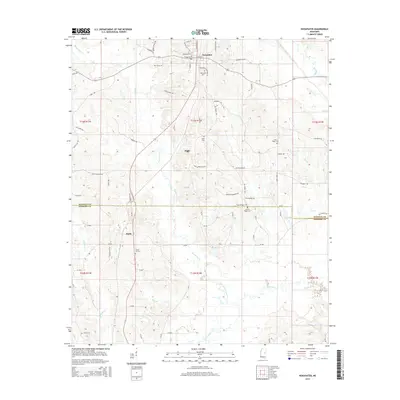
2015 Map of Noxapater
USGS Topo · Published 2015About this map
Noxapater and the surrounding rural uplands of Winston and Neshoba counties are defined by a network of family-named cemeteries and creek crossings as they appeared in 2015. The landscape is deeply etched by the headwaters of the Pearl River, with Noxapater Creek and Hurricane Creek feeding the local drainage system. Small-town infrastructure is centered in Noxapater, while smaller settlements like Stallo and Hight mark the southern and central portions of the quadrangle. For those tracing local history or genealogy, the map identifies numerous burial sites including Mount Pisgah Cemetery, Union Ridge Cemetery, and Salem Cemetery. The transport network relies on a mix of county roads and local routes like Old Highway 15, Sawmill Road, and Price Road, reflecting the area's agricultural and timber-based character.
Find a feature on this map
84 named features on this map. Tap any name to fly to it.
Don’t see what you’re looking for? This feature index may not catch every label — zoom into the map to look around manually.
Map Details
Editions of this 2015 Noxapater Map
This is the sole edition of this map. No revisions or reprints were ever made.
Other maps of this area

1953 · Meridian
USGS Topo · 1:250,000

1953 · West Point
USGS Topo · 1:250,000

1957 · Meridian
USGS Topo · 1:250,000

1958 · West Point
USGS Topo · 1:250,000

1962 · Vernon
USGS Topo · 1:24,000

1962 · Owl Creek
USGS Topo · 1:24,000

1963 · West Point
USGS Topo · 1:250,000

1965 · Meridian
USGS Topo · 1:250,000

1972 · Pearl River
USGS Topo · 1:24,000

1972 · Plattsburg
USGS Topo · 1:24,000