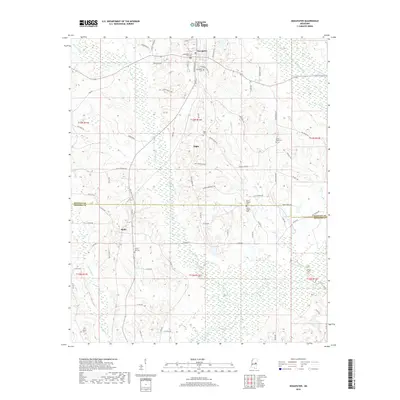
2018 Map of Noxapater
USGS Topo · Published 2018About this map
Noxapater stands at the northern edge of this Winston County landscape, where the headwaters of the Pearl River begin to take shape among the low-lying wetlands and creek beds. The area is defined by its transition from the town center south toward the Winston Co Neshoba Co line, passing through smaller community hubs like Hight and Stallo. This 2018 survey reveals a territory rich in genealogical markers, with numerous country burial grounds such as Noxapater Cem, Methodist Cem, and Union Ridge Cem scattered across the township lines.
Find a feature on this map
84 named features on this map. Tap any name to fly to it.
Don’t see what you’re looking for? This feature index may not catch every label — zoom into the map to look around manually.
Map Details
Editions of this 2018 Noxapater Map
This is the sole edition of this map. No revisions or reprints were ever made.
Other maps of this area

1953 · Meridian
USGS Topo · 1:250,000

1953 · West Point
USGS Topo · 1:250,000

1957 · Meridian
USGS Topo · 1:250,000

1958 · West Point
USGS Topo · 1:250,000

1962 · Vernon
USGS Topo · 1:24,000

1962 · Owl Creek
USGS Topo · 1:24,000

1963 · West Point
USGS Topo · 1:250,000

1965 · Meridian
USGS Topo · 1:250,000

1972 · Pearl River
USGS Topo · 1:24,000

1972 · Plattsburg
USGS Topo · 1:24,000