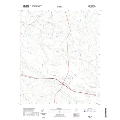
2020 Map of Nunez
USGS Topo · Published 2020About this map
The Ohoopee River and its major tributary, Yam Grandy Creek, define the topography of this Emanuel County landscape. The southern portion of the map is anchored by the community of Oak Park, where transportation routes converge near the riverbank. Further north, a network of country roads connects smaller settlements including Nunez, Wesley, and Lexsy. These areas are characterized by a strong presence of ancestral family lands, evidenced by the numerous family-named cemeteries scattered across the terrain.
Find a feature on this map
77 named features on this map. Tap any name to fly to it.
Don’t see what you’re looking for? This feature index may not catch every label — zoom into the map to look around manually.
Map Details
Editions of this 2020 Nunez Map
This is the sole edition of this map. No revisions or reprints were ever made.
Other maps of this area

1957 · Macon
USGS Topo · 1:250,000

1958 · Macon
USGS Topo · 1:250,000

1964 · Macon
USGS Topo · 1:250,000

1970 · Cobbtown
USGS Topo · 1:24,000

1970 · Oak Park SW
USGS Topo · 1:24,000

1970 · Covena
USGS Topo · 1:24,000

1970 · Nunez
USGS Topo · 1:24,000

1970 · Oak Park
USGS Topo · 1:24,000

1971 · Norristown
USGS Topo · 1:24,000

1971 · Stillmore
USGS Topo · 1:24,000