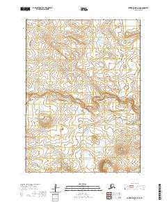
2020 Map of Nunivak Island A-3 SE
USGS Topo · Published 2020About this map
Nunivak Island is the central focus of this topographic study, revealing a landscape defined by expansive wetlands and intricate hydrological patterns. Located within the Bethel Census Area of Alaska, the terrain is characterized by a dense network of small ponds and winding watercourses that dominate the interior of the island. The map depicts a territory largely untouched by traditional infrastructure, instead emphasizing the natural topography and the legal framework of the Public Land Survey System. Grid lines for t1s r97w, t1s r96w, t2s r97w, and t2s r96w provide the primary organizational structure across this remote Alaskan environment, marking out the vast stretches of land according to federal surveying standards.
Find a feature on this map
5 named features on this map. Tap any name to fly to it.
Don’t see what you’re looking for? This feature index may not catch every label — zoom into the map to look around manually.
Map Details
Editions of this 2020 Nunivak Island A-3 SE Map
This is the sole edition of this map. No revisions or reprints were ever made.
Other maps of this area

1951 · Cape Mendenhall
USGS Topo · 1:250,000

1951 · Nunivak Island
USGS Topo · 1:250,000

1952 · Cape Mendenhall D-3
USGS Topo · 1:63,360

1952 · Cape Mendenhall
USGS Topo · 1:250,000
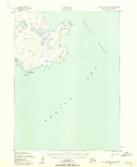
1952 · Cape Mendenhall D-2
USGS Topo · 1:63,360

1952 · Nunivak Island A-3
USGS Topo · 1:63,360
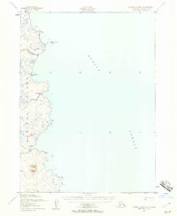
1952 · Nunivak Island A-2
USGS Topo · 1:63,360

1954 · Nunivak Island
USGS Topo · 1:250,000

1958 · Nunivak Island
USGS Topo · 1:250,000

1964 · Nunivak Island
USGS Topo · 1:250,000