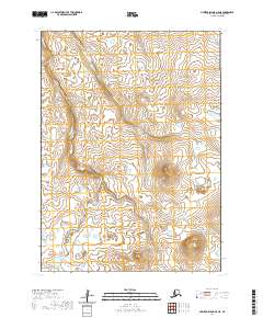
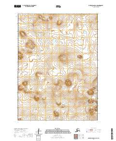
2020 Map of Nunivak Island A-5 NE
USGS Topo · Published 2020About this map
Ahding Ingrid Mtn rises above the tundra of Nunivak Island, serving as a primary landmark in this corner of the Bethel Census Area. The landscape is defined by its complex drainage network, where the Ahding River and Nariksmiut River wind through low-lying terrain. These waterways reflect the characteristic hydrologic patterns of the Bering Sea region, with the Kahniruk River appearing in the northeastern quadrant. The land rises toward the Kimit Hills and Kikikyak Hill, offering a view of the island's interior topography as it was documented in 2020. This survey provides a precise look at the township and range divisions, including t2n r100w and t1n r99w, which organize this largely uninhabited portion of the island.
Find a feature on this map
11 named features on this map. Tap any name to fly to it.
Don’t see what you’re looking for? This feature index may not catch every label — zoom into the map to look around manually.
Map Details
Editions of this 2020 Nunivak Island A-5 NE Map
This is the sole edition of this map. No revisions or reprints were ever made.
Other maps of this area

1951 · Nunivak Island
USGS Topo · 1:250,000

1952 · Nunivak Island A-4
USGS Topo · 1:63,360

1952 · Nunivak Island A-5
USGS Topo · 1:63,360
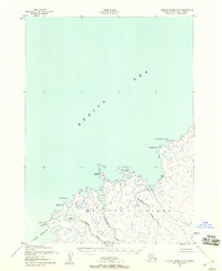
1952 · Nunivak Island B-5
USGS Topo · 1:63,360
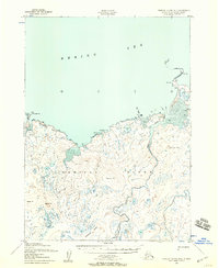
1952 · Nunivak Island B-4
USGS Topo · 1:63,360

1954 · Nunivak Island
USGS Topo · 1:250,000

1958 · Nunivak Island
USGS Topo · 1:250,000

1964 · Nunivak Island
USGS Topo · 1:250,000
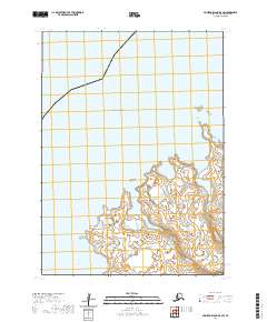
2020 · Nunivak Island B-5 SW
USGS Topo · 1:25,000
2020 · Nunivak Island A-4 SW
USGS Topo · 1:25,000