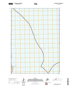
2020 Map of Nunivak Island B-3 NW
USGS Topo · Published 2020About this map
Nabakyalik Point marks the rugged coastline where the island meets the vast Bering Sea, as documented in this 2020 topographic survey. This remote stretch of Nunivak Island is largely defined by the intersection of the maritime environment and the public land survey system, specifically the township and range lines of t3n r97w, t4n r97w, and t3n r96w. The map focuses on the uninhabited coastal reaches within the Bethel Census Area, illustrating the stark geography of the shoreline without the presence of established roads or modern settlements. Geologists and researchers can use this data to study the precise coastal contours and tidal patterns at Nabakyalik Point during the early 21st century.
Find a feature on this map
5 named features on this map. Tap any name to fly to it.
Don’t see what you’re looking for? This feature index may not catch every label — zoom into the map to look around manually.
Map Details
Editions of this 2020 Nunivak Island B-3 NW Map
This is the sole edition of this map. No revisions or reprints were ever made.
Other maps of this area

1951 · Nunivak Island
USGS Topo · 1:250,000
1952 · Nunivak Island B-3
USGS Topo · 1:63,360
1952 · Nunivak Island B-4
USGS Topo · 1:63,360

1954 · Nunivak Island
USGS Topo · 1:250,000

1958 · Nunivak Island
USGS Topo · 1:250,000

1964 · Nunivak Island
USGS Topo · 1:250,000
2020 · Nunivak Island B-3 SE
USGS Topo · 1:25,000
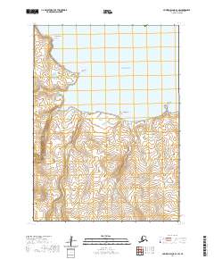
2020 · Nunivak Island B-3 SW
USGS Topo · 1:25,000
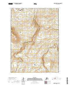
2020 · Nunivak Island B-4 SE
USGS Topo · 1:25,000
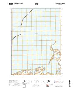
2020 · Nunivak Island B-4 NE
USGS Topo · 1:25,000