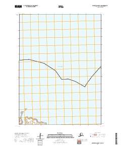
2020 Map of Nunivak Island B-4 NW
USGS Topo · Published 2020About this map
Ahrayuksookwit Bluff anchors the southwestern coastline of this remote Bering Sea survey, providing a prominent landform for coastal navigation along the island's edge. The terrain here is defined by its maritime exposure, where the Bering Sea meets a shoreline marked by distinct geologic features. Just offshore, Kikartik Rock and Arwirnuk Rock serve as significant landmarks within the coastal waters. The map primarily documents the township and range lines for t4n r99w, t4n r98w, t3n r99w, and t3n r98w, illustrating the intersection of modern surveying with the natural features of the Alaska coast. This 2020 record focuses on the transition from the interior landmass to the sea, capturing the shoreline as it existed at the start of the decade.
Find a feature on this map
8 named features on this map. Tap any name to fly to it.
Don’t see what you’re looking for? This feature index may not catch every label — zoom into the map to look around manually.
Map Details
Editions of this 2020 Nunivak Island B-4 NW Map
This is the sole edition of this map. No revisions or reprints were ever made.
Other maps of this area

1951 · Nunivak Island
USGS Topo · 1:250,000
1952 · Nunivak Island B-5
USGS Topo · 1:63,360
1952 · Nunivak Island B-4
USGS Topo · 1:63,360

1954 · Nunivak Island
USGS Topo · 1:250,000

1958 · Nunivak Island
USGS Topo · 1:250,000

1964 · Nunivak Island
USGS Topo · 1:250,000
2020 · Nunivak Island B-5 NE
USGS Topo · 1:25,000
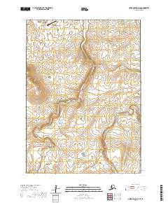
2020 · Nunivak Island B-4 SE
USGS Topo · 1:25,000
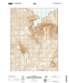
2020 · Nunivak Island B-4 SW
USGS Topo · 1:25,000
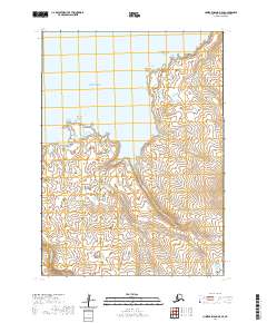
2020 · Nunivak Island B-5 SE
USGS Topo · 1:25,000