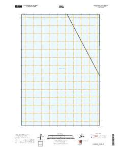
2019 Map of Nushagak Bay B-4 NW
USGS Topo · Published 2019About this map
Bristol Bay dominates this maritime expanse within the Dillingham Census Area, revealing a segment of one of Alaska’s most significant commercial and ecological waterscapes. This 2019 survey focuses on the open water and the underlying Public Land Survey System grid, including the intersection of t19s r60w and t20s r60w. As a strictly aquatic and boundary study, the map provides a precise layout of maritime sections that are critical for coordinating fishing territories and resource management in these northern waters. The absence of land features emphasizes the vast scale of the bay’s reaches and its importance as a navigational and administrative boundary zone.
Find a feature on this map
3 named features on this map. Tap any name to fly to it.
Don’t see what you’re looking for? This feature index may not catch every label — zoom into the map to look around manually.
Map Details
Editions of this 2019 Nushagak Bay B-4 NW Map
This is the sole edition of this map. No revisions or reprints were ever made.
Other maps of this area

1945 · Nushagak Bay
USGS Topo · 1:250,000

1948 · Nushagak Bay C-4 And C-5
USGS Topo · 1:63,360

1949 · Nushagak Bay
USGS Topo · 1:250,000

1950 · Nushagak Bay B-4
USGS Topo · 1:63,360

1950 · Nushagak Bay C-4 And C-5
USGS Topo · 1:63,360

1951 · Nushagak Bay
USGS Topo · 1:250,000

1964 · Nushagak Bay
USGS Topo · 1:250,000
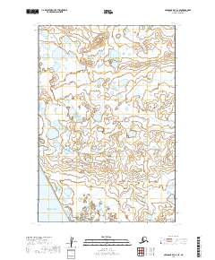
2019 · Nushagak Bay C-4 SE
USGS Topo · 1:25,000
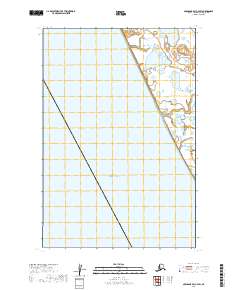
2019 · Nushagak Bay C-4 SW
USGS Topo · 1:25,000
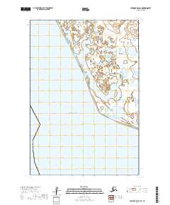
2019 · Nushagak Bay B-4 NE
USGS Topo · 1:25,000