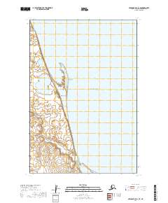
2019 Map of Nushagak Bay C-3 SE
USGS Topo · Published 2019About this map
Bristol Bay dominates the eastern half of this coastal survey, where the marine environment meets a complex network of wetlands and tidal flats along the western shore. The landscape is defined by the shifting sands of Nichols Spit, a prominent coastal feature that shields the inland marshes from the open waters of the bay. Rising just inland, the Nichols Hills provide a rare point of elevation in a terrain otherwise characterized by low-lying saturated ground and narrow drainage channels. The Tunuian River meanders through the northwest, feeding into the bay and illustrating the dynamic interaction between freshwater runoff and the Alaskan coastline. This specific reach of the Nushagak Bay region highlights a wilderness defined more by its hydrography and landforms than by permanent human infrastructure, offering a clear record of the area's natural topography.
Find a feature on this map
8 named features on this map. Tap any name to fly to it.
Don’t see what you’re looking for? This feature index may not catch every label — zoom into the map to look around manually.
Map Details
Editions of this 2019 Nushagak Bay C-3 SE Map
This is the sole edition of this map. No revisions or reprints were ever made.
Other maps of this area

1945 · Nushagak Bay
USGS Topo · 1:250,000

1949 · Nushagak Bay
USGS Topo · 1:250,000

1950 · Nushagak Bay C-3
USGS Topo · 1:63,360
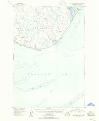
1950 · Nushagak Bay B-3
USGS Topo · 1:63,360

1951 · Nushagak Bay
USGS Topo · 1:250,000

1964 · Nushagak Bay
USGS Topo · 1:250,000
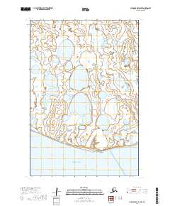
2019 · Nushagak Bay B-3 NW
USGS Topo · 1:25,000
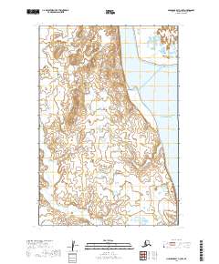
2019 · Nushagak Bay C-3 NW
USGS Topo · 1:25,000
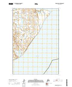
2019 · Nushagak Bay B-3 NE
USGS Topo · 1:25,000
2019 · Nushagak Bay C-3 NE
USGS Topo · 1:25,000