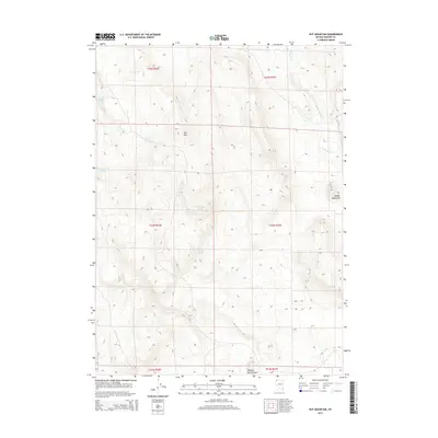
2015 Map of Nut Mountain
USGS Topo · Published 2015About this map
Nut Mtn dominates the central landscape of this Washoe County survey, serving as a high-altitude anchor for a network of isolated water sources. The area is defined by a series of springs, including Little Nut Spring, Sagehen Spring, and the western Rock Spring, which provided essential hydration for cattle and wildlife in this arid interior. To the east, the Badger Mountains rise along the margin of the quadrangle, while Wall Canyon Cr and Hanging Rock Canyon carve distinct geological features into the terrain.
Find a feature on this map
15 named features on this map. Tap any name to fly to it.
Don’t see what you’re looking for? This feature index may not catch every label — zoom into the map to look around manually.
Map Details
Editions of this 2015 Nut Mountain Map
This is the sole edition of this map. No revisions or reprints were ever made.
Other maps of this area

1889 · Long Valley
USGS Topo · 1:250,000

1954 · Vya
USGS Topo · 1:250,000

1958 · Vya
USGS Topo · 1:250,000

1962 · Vya
USGS Topo · 1:250,000

1966 · Badger Mtn NW
USGS Topo · 1:24,000

1966 · Massacre Lake
USGS Topo · 1:24,000

1966 · Blowout Mtn
USGS Topo · 1:24,000

1966 · Nut Mountain
USGS Topo · 1:24,000

1966 · Badger Mtn SE
USGS Topo · 1:24,000

1966 · Massacre Creek
USGS Topo · 1:24,000