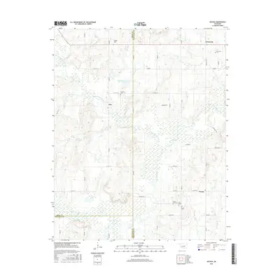
2016 Map of Nuyaka
USGS Topo · Published 2016About this map
Nuyaka and the surrounding rural landscapes of Okmulgee County are defined by the winding course of Deep Fork and its tributaries. This 2016 survey documents a region characterized by small settlements and numerous legacy burial grounds, including the Old Nuyaka Cem and Barnes Family Cem. The terrain rises toward Osage Hill in the north, while the lowlands are pocketed with wetlands and small bodies of water like Flag Lake, Sawmill Lake, and Brushy Lake. The settlement patterns at Edna and Dentonville reflect a long-standing agricultural and residential layout, connected by a network of county roads such as Dentonville Rd and McKeown Rd. Significant water management is evident through various reservoirs, such as the Little Deep Fork Cr Site 53 Reservoir, which help manage the drainage of the Little Deep Fork Creek system into the larger river basin.
Find a feature on this map
43 named features on this map. Tap any name to fly to it.
Don’t see what you’re looking for? This feature index may not catch every label — zoom into the map to look around manually.
Map Details
Editions of this 2016 Nuyaka Map
This is the sole edition of this map. No revisions or reprints were ever made.
Other maps of this area

1901 · Nuyaka
USGS Topo · 1:125,000

1914 · Kiefer
USGS Topo · 1:62,500

1916 · Kiefer
USGS Topo · 1:62,500

1916 · Bristow
USGS Topo · 1:62,500

1954 · Oklahoma City
USGS Topo · 1:250,000

1957 · Oklahoma City
USGS Topo · 1:250,000

1963 · Oklahoma City
USGS Topo · 1:250,000
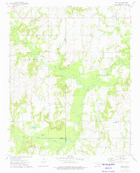
1973 · Nuyaka
USGS Topo · 1:24,000
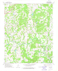
1973 · Slick
USGS Topo · 1:24,000
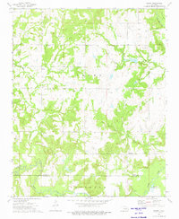
1973 · Newby
USGS Topo · 1:24,000