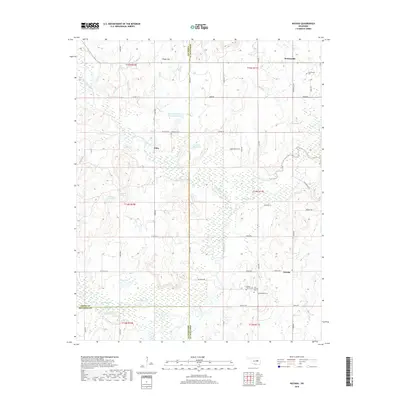
2018 Map of Nuyaka
USGS Topo · Published 2018About this map
Nuyaka, Dentonville, and Edna anchor this Okmulgee County landscape, where the confluence of several tributaries meets the meandering Deep Fork. The terrain is defined by the elevation of Osage Hill in the north and a network of wetlands and small lakes in the south, including Flag Lake, Sawmill Lake, and Round Lake. This area reflects a deep-rooted community history, evidenced by the numerous burial sites scattered across the township lines, such as Tuskegee Cem and the Barnes Family Cem. The hydrography is particularly complex here, with Little Deep Fork Creek feeding several modern impoundments like the 111009 Reservoir. The boundary between Creek, Okmulgee, and Okfuskee counties crosses the southern and western portions of the map, illustrating how these administrative lines follow the natural drainage patterns of Nuyaka Creek and its neighboring branches.
Find a feature on this map
63 named features on this map. Tap any name to fly to it.
Don’t see what you’re looking for? This feature index may not catch every label — zoom into the map to look around manually.
Map Details
Editions of this 2018 Nuyaka Map
This is the sole edition of this map. No revisions or reprints were ever made.
Other maps of this area

1901 · Nuyaka
USGS Topo · 1:125,000

1914 · Kiefer
USGS Topo · 1:62,500

1916 · Kiefer
USGS Topo · 1:62,500

1916 · Bristow
USGS Topo · 1:62,500

1954 · Oklahoma City
USGS Topo · 1:250,000

1957 · Oklahoma City
USGS Topo · 1:250,000

1963 · Oklahoma City
USGS Topo · 1:250,000
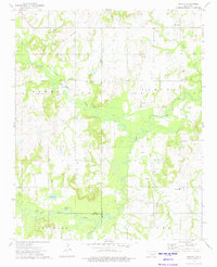
1973 · Nuyaka
USGS Topo · 1:24,000
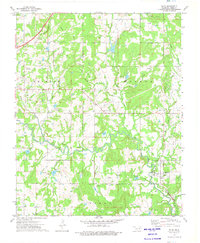
1973 · Slick
USGS Topo · 1:24,000
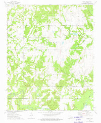
1973 · Newby
USGS Topo · 1:24,000