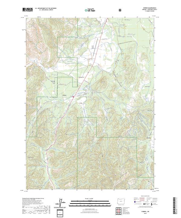
2023 Map of O'Brien
USGS Topo · Published 2023About this map
The West Fork Illinois River and its many tributaries, including O'Brien Creek, define the geography of the Illinois Valley in Josephine County. The settlement of O'Brien sits as a central hub for the surrounding landscape, which is heavily shaped by the boundaries of the Siskiyou National Forest. To the southeast, the historic area of Takilma is situated near French Flat and the East Fork Illinois River, suggesting a legacy of settlement near the river forks.
Find a feature on this map
65 named features on this map. Tap any name to fly to it.
Don’t see what you’re looking for? This feature index may not catch every label — zoom into the map to look around manually.
Map Details
Editions of this 2023 O'Brien Map
This is the sole edition of this map. No revisions or reprints were ever made.
Other maps of this area

1917 · Kerby
USGS Topo · 1:125,000

1918 · Kerby
USGS Topo · 1:125,000

1922 · Preston Peak
USGS Topo · 1:125,000

1945 · Kerby
USGS Topo · 1:125,000

1945 · Gasquet
USGS Topo · 1:62,500

1948 · Weed
USGS Topo · 1:250,000

1950 · Weed
USGS Topo · 1:250,000

1951 · Gasquet
USGS Topo · 1:62,500

1954 · Cave Junction
USGS Topo · 1:62,500

1954 · Chetco Peak
USGS Topo · 1:62,500