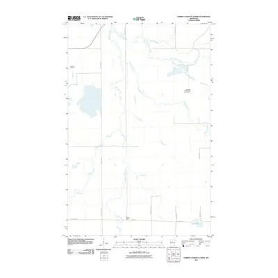
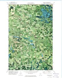
2010 Map of O'Brien Lookout Tower
USGS Topo · Published 2010About this map
Caldwell Cemetery and the O'Brien Lookout Tower anchor this northern Minnesota landscape, recorded during a 2010 survey of the Beltrami County wilderness. The terrain is defined by an intricate network of waterways, where the Blackduck River and the South Cormorant River wind through the township. These rivers are joined by numerous smaller streams, including Perry Creek, Detling Creek, and Darrigans Creek, illustrating a well-watered region historically shaped by forestry and small-scale agriculture.
Find a feature on this map
17 named features on this map. Tap any name to fly to it.
Don’t see what you’re looking for? This feature index may not catch every label — zoom into the map to look around manually.
Map Details
Editions of this 2010 O'Brien Lookout Tower Map
This is the sole edition of this map. No revisions or reprints were ever made.
Other maps of this area

1919 · Quiring
USGS Topo · 1:62,500

1920 · Buena Vista
USGS Topo · 1:62,500

1954 · Bemidji
USGS Topo · 1:250,000

1957 · Bemidji
USGS Topo · 1:250,000

1958 · Bemidji
USGS Topo · 1:250,000
1972 · Blackduck
USGS Topo · 1:24,000
1972 · Saum NE
USGS Topo · 1:24,000

1972 · White Fish Lake
USGS Topo · 1:24,000
1972 · O'Brien Lookout Tower
USGS Topo · 1:24,000
1972 · Borden Lake
USGS Topo · 1:24,000