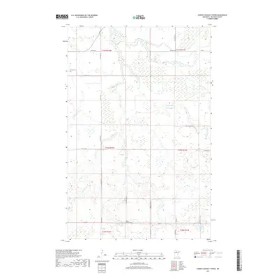
2019 Map of O'Brien Lookout Tower
USGS Topo · Published 2019About this map
O'Brien Lookout Tower and its namesake road network dominate this section of Beltrami County, where a system of creeks and rivers winds through a heavily forested and wetland-rich landscape. The Blackduck River and the S Cormorant River converge in the northern half of the quadrangle, creating a complex drainage system that includes Perry Cr and O'Brien Cr. While largely uninhabited by dense settlements, the presence of the Caldwell Cem in the northwest suggests the long-standing rural community ties to this land.
Find a feature on this map
33 named features on this map. Tap any name to fly to it.
Don’t see what you’re looking for? This feature index may not catch every label — zoom into the map to look around manually.
Map Details
Editions of this 2019 O'Brien Lookout Tower Map
This is the sole edition of this map. No revisions or reprints were ever made.
Other maps of this area
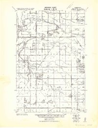
1919 · Quiring
USGS Topo · 1:62,500
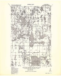
1920 · Buena Vista
USGS Topo · 1:62,500

1954 · Bemidji
USGS Topo · 1:250,000

1957 · Bemidji
USGS Topo · 1:250,000

1958 · Bemidji
USGS Topo · 1:250,000
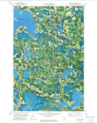
1972 · Blackduck
USGS Topo · 1:24,000
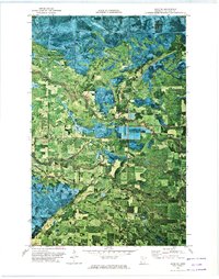
1972 · Saum NE
USGS Topo · 1:24,000
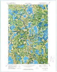
1972 · White Fish Lake
USGS Topo · 1:24,000
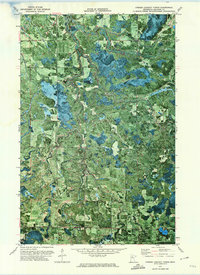
1972 · O'Brien Lookout Tower
USGS Topo · 1:24,000
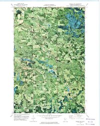
1972 · Borden Lake
USGS Topo · 1:24,000