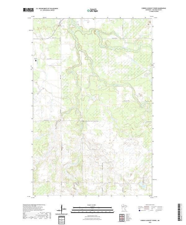
2022 Map of O'Brien Lookout Tower
USGS Topo · Published 2022About this map
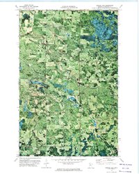
Caldwell Cem sits near the western edge of this Beltrami County landscape, where the headwaters of several notable waterways converge. The terrain is defined by the winding paths of the S Cormorant River and the Blackduck River, which meander through a complex network of wetlands and wooded sections. The hydrology of the area is further characterized by numerous smaller tributaries, including Detling Creek, Perry Cr, and the southern reaches of O'Brien Cr. Settlement patterns follow a grid of rural roads such as Wheat Rd NE and Reisch Rd NE, which provide access to these isolated northern reaches. In the southeast corner, the map shows Smith Lake near the junction of Hines Rd NE and Co Rd 32, anchoring a region of small lakes and seasonal drainages that feed into the larger river systems of northern Minnesota.
Find a feature on this map
32 named features on this map. Tap any name to fly to it.
Don’t see what you’re looking for? This feature index may not catch every label — zoom into the map to look around manually.
Map Details
Editions of this 2022 O'Brien Lookout Tower Map
This is the sole edition of this map. No revisions or reprints were ever made.
Other maps of this area

1919 · Quiring
USGS Topo · 1:62,500

1920 · Buena Vista
USGS Topo · 1:62,500

1954 · Bemidji
USGS Topo · 1:250,000

1957 · Bemidji
USGS Topo · 1:250,000

1958 · Bemidji
USGS Topo · 1:250,000
1972 · Blackduck
USGS Topo · 1:24,000
1972 · Saum NE
USGS Topo · 1:24,000

1972 · White Fish Lake
USGS Topo · 1:24,000
1972 · O'Brien Lookout Tower
USGS Topo · 1:24,000
1972 · Borden Lake
USGS Topo · 1:24,000