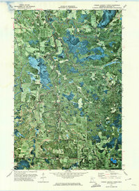
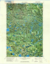
1972 Map of O'Brien Lookout Tower
USGS Topo · Published 1974About this map
The Cormorant River and its tributary, the South Cormorant River, dominate this northern Minnesota landscape within Beltrami County. This 1970s orthophotomap provides a rare hybrid view, overlaying topographic data and township boundaries like Quiring and Cormant onto an aerial photograph. This visual style clearly reveals the dense vegetation and wetland patterns surrounding Battling Creek and the Blackduck River.
Find a feature on this map
20 named features on this map. Tap any name to fly to it.
Don’t see what you’re looking for? This feature index may not catch every label — zoom into the map to look around manually.
Map Details
Editions of this 1972 O'Brien Lookout Tower Map
This is the sole edition of this map. No revisions or reprints were ever made.
Other maps of this area

1919 · Quiring
USGS Topo · 1:62,500

1920 · Buena Vista
USGS Topo · 1:62,500

1954 · Bemidji
USGS Topo · 1:250,000

1957 · Bemidji
USGS Topo · 1:250,000

1958 · Bemidji
USGS Topo · 1:250,000
1972 · Blackduck
USGS Topo · 1:24,000
1972 · Saum NE
USGS Topo · 1:24,000

1972 · White Fish Lake
USGS Topo · 1:24,000
1972 · Borden Lake
USGS Topo · 1:24,000
1972 · Nebish
USGS Topo · 1:24,000