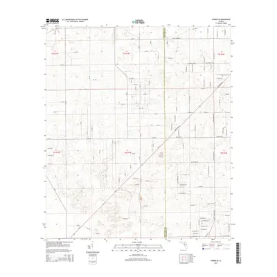
2015 Map of O'Brien SE
USGS Topo · Published 2015About this map
The boundary between Suwannee Co and Columbia Co defines the central axis of this North Florida landscape. Characterized by a complex network of county and local roads, the area is notably anchored by Cypress Lake in the north and the private airstrip at Z Ranch Airport further south. The map illustrates a primarily rural settlement pattern structured by the Public Land Survey System, with township and range lines such as t4s r15e and t5s r15e providing the underlying grid for property division and road placement. Transportation in the mid-2010s relied heavily on the diagonal route of SR-247 and the north-south corridor of CR-137, which together facilitate movement through this sparsely populated transition zone between larger regional hubs.
Find a feature on this map
112 named features on this map. Tap any name to fly to it.
Don’t see what you’re looking for? This feature index may not catch every label — zoom into the map to look around manually.
Map Details
Editions of this 2015 O'Brien SE Map
This is the sole edition of this map. No revisions or reprints were ever made.
Other maps of this area
1954 · Gainesville
USGS Topo · 1:250,000
1954 · Valdosta
USGS Topo · 1:250,000
1958 · Valdosta
USGS Topo · 1:250,000
1958 · Gainesville
USGS Topo · 1:250,000
1959 · Valdosta
USGS Topo · 1:250,000
1959 · Gainesville
USGS Topo · 1:250,000
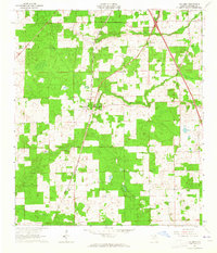
1963 · Columbia
USGS Topo · 1:24,000
1963 · Lake City West
USGS Topo · 1:24,000
1968 · Branford
USGS Topo · 1:24,000
1968 · Hildreth
USGS Topo · 1:24,000