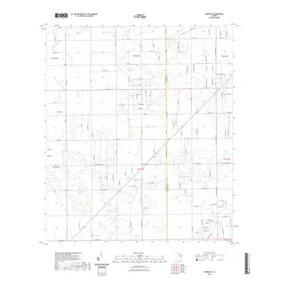
2021 Map of O'Brien SE
USGS Topo · Published 2021About this map
Cypress Lake sits as a central water feature in this portion of North Florida, where the boundary between Suwannee Co and Columbia Co defines the local geography. The landscape is characterized by a dense network of rural corridors, ranging from named arterial routes like Co Rd 240 and Co Rd 137 to more localized timber and farm tracks such as Watermelon Rd and Cross Country Rd.
Find a feature on this map
118 named features on this map. Tap any name to fly to it.
Don’t see what you’re looking for? This feature index may not catch every label — zoom into the map to look around manually.
Map Details
Editions of this 2021 O'Brien SE Map
This is the sole edition of this map. No revisions or reprints were ever made.
Other maps of this area

1954 · Gainesville
USGS Topo · 1:250,000

1954 · Valdosta
USGS Topo · 1:250,000

1958 · Valdosta
USGS Topo · 1:250,000

1958 · Gainesville
USGS Topo · 1:250,000

1959 · Valdosta
USGS Topo · 1:250,000

1959 · Gainesville
USGS Topo · 1:250,000

1963 · Columbia
USGS Topo · 1:24,000

1963 · Lake City West
USGS Topo · 1:24,000

1968 · Branford
USGS Topo · 1:24,000
1968 · Hildreth
USGS Topo · 1:24,000