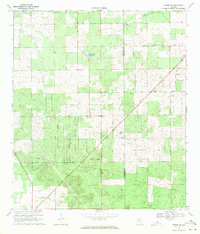
1969 Map of O'Brien SE
USGS Topo · Published 1971About this map
Suwannee and Columbia counties meet along a diagonal boundary in this North Florida landscape, where agricultural grids and rural road networks define the terrain. The 1960s interior is marked by a series of named thoroughfares including Market Road and Cross County Road, while more personal, botanical road names like Magnolia Drive and Dogwood Drive hint at local flora or small-scale subdivision patterns. Community life is anchored by rural landmarks such as Philadelphia Ch in the northwest and Siloam Ch near the county line. The landscape is dotted with depressions and small water features, most notably Cypress Lake and the eastern flow of Chetucknee. A prominent Pipeline cuts across the southern portion of the sheet, illustrating the integration of utility infrastructure into the timber and farming lands of the era.
Find a feature on this map
25 named features on this map. Tap any name to fly to it.
Don’t see what you’re looking for? This feature index may not catch every label — zoom into the map to look around manually.
Map Details
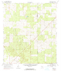
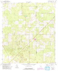
Editions of this 1969 O'Brien SE Map
3 editions found
Other maps of this area

1954 · Gainesville
USGS Topo · 1:250,000

1954 · Valdosta
USGS Topo · 1:250,000

1958 · Valdosta
USGS Topo · 1:250,000

1958 · Gainesville
USGS Topo · 1:250,000

1959 · Valdosta
USGS Topo · 1:250,000

1959 · Gainesville
USGS Topo · 1:250,000

1963 · Columbia
USGS Topo · 1:24,000

1963 · Lake City West
USGS Topo · 1:24,000

1968 · Branford
USGS Topo · 1:24,000
1968 · Hildreth
USGS Topo · 1:24,000