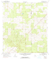
1969 Map of O'Brien SE
USGS Topo · Published 1990About this map
Deep pine forests and agricultural clearings define the landscape along the Suwannee and Columbia county line. The map reveals a structured network of rural roads with distinctive names like Watermelon Road, Lee Dairy Road, and Market Road, reflecting the local economies of the late 1960s. Small country congregations form the social backbone of the area, including Leona Ch, Philadelphia Ch, and Siloam Ch. The topography is relatively flat, punctuated by Cypress Lake and the northern reaches of the Ichetucknee area. Local history and genealogy interest is concentrated near the Leona Cem and Evergreen Cem, which remain as fixed points in a landscape otherwise marked by extensive firebreaks and modern utility corridors such as the central pipeline.
Find a feature on this map
34 named features on this map. Tap any name to fly to it.
Don’t see what you’re looking for? This feature index may not catch every label — zoom into the map to look around manually.
Map Details
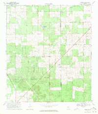
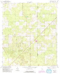
Editions of this 1969 O'Brien SE Map
3 editions found
Other maps of this area

1954 · Gainesville
USGS Topo · 1:250,000

1954 · Valdosta
USGS Topo · 1:250,000

1958 · Valdosta
USGS Topo · 1:250,000

1958 · Gainesville
USGS Topo · 1:250,000

1959 · Valdosta
USGS Topo · 1:250,000

1959 · Gainesville
USGS Topo · 1:250,000

1963 · Columbia
USGS Topo · 1:24,000

1963 · Lake City West
USGS Topo · 1:24,000

1968 · Branford
USGS Topo · 1:24,000
1968 · Hildreth
USGS Topo · 1:24,000