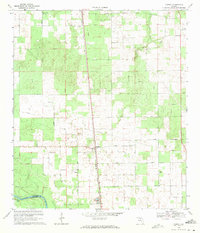
1969 Map of O'Brien
USGS Topo · Published 1971About this map
The O'Brien settlement serves as the central hub of this North Florida landscape, situated at the intersection of the Seaboard Coast Line railroad and local thoroughfares like Cross County Road. The geography is defined by its proximity to the winding Suwannee River in the southwest and the Little River in the northeast, where the boundary between Suwannee Co and Lafayette Co follows the water's edge. This 1960s survey illustrates a region where local life was anchored by country churches and family burial grounds, including Mt Zion Ch, Mt Pisgah Ch, and Cedar Grove Cem. The presence of Troy Spring near the river indicates the characteristic karst features of the Florida panhandle. A network of rural routes such as Fletcher Road and Brannen Road connect the scattered homesteads and agricultural plots that fill the spaces between the limestone-rich riverbanks and the railroad corridor.
Find a feature on this map
22 named features on this map. Tap any name to fly to it.
Don’t see what you’re looking for? This feature index may not catch every label — zoom into the map to look around manually.
Map Details
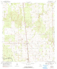
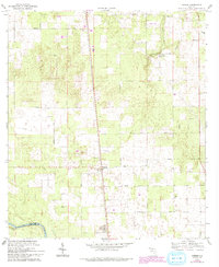
Editions of this 1969 O'Brien Map
3 editions found
Other maps of this area

1954 · Mallory Swamp NE
USGS Topo · 1:24,000

1954 · Gainesville
USGS Topo · 1:250,000

1954 · Valdosta
USGS Topo · 1:250,000

1955 · Mayo NE
USGS Topo · 1:24,000

1955 · Mayo SE
USGS Topo · 1:24,000

1958 · Valdosta
USGS Topo · 1:250,000

1958 · Gainesville
USGS Topo · 1:250,000

1959 · Valdosta
USGS Topo · 1:250,000

1959 · Gainesville
USGS Topo · 1:250,000

1968 · Branford
USGS Topo · 1:24,000