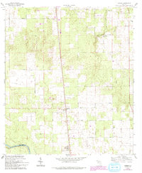
1969 Map of O'Brien
USGS Topo · Published 1993About this map
O'Brien serves as the central hub of this Suwannee County landscape, where the rural character of northern Florida is defined by small community churches and dispersed family cemeteries. The terrain is marked by a network of local thoroughfares like Brannen Road and Cross County Road, linking together several faith-based centers including Mt Zion Ch and Union Ch. To the southwest, the Suwannee River forms the natural boundary with Lafayette County, featuring the notable Troy Spring. Evidence of local industry and infrastructure appears in the form of a Quarry and a private Landing Strip, while the Little River meanders through the eastern section. This 1969 field-checked survey, updated in the early 1990s, documents the persisting agricultural and rural patterns of the region, anchored by historical sites such as Cedar Grove Cem and Grove Cem.
Find a feature on this map
23 named features on this map. Tap any name to fly to it.
Don’t see what you’re looking for? This feature index may not catch every label — zoom into the map to look around manually.
Map Details
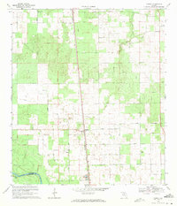
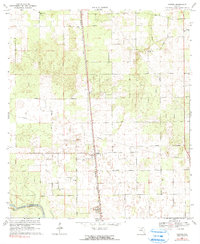
Editions of this 1969 O'Brien Map
3 editions found
Other maps of this area

1954 · Mallory Swamp NE
USGS Topo · 1:24,000

1954 · Gainesville
USGS Topo · 1:250,000

1954 · Valdosta
USGS Topo · 1:250,000

1955 · Mayo NE
USGS Topo · 1:24,000

1955 · Mayo SE
USGS Topo · 1:24,000

1958 · Valdosta
USGS Topo · 1:250,000

1958 · Gainesville
USGS Topo · 1:250,000

1959 · Valdosta
USGS Topo · 1:250,000

1959 · Gainesville
USGS Topo · 1:250,000

1968 · Branford
USGS Topo · 1:24,000