
1903 Map of O'Fallon
USGS Topo · Published 1903About this map
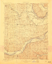
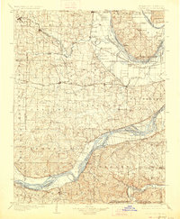
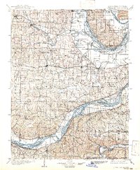
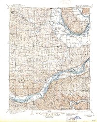
The Missouri and Mississippi River systems converge in this late 19th-century survey, creating a complex landscape of islands, chutes, and bottomlands across St. Charles County. The interior is defined by a dense network of creek drainages, including Dardenne Creek and Peruque Creek, which supported established agricultural settlements like Wentzville, O'Fallon, and St. Peters. Along the riverbanks, historic river landings such as Cap Au Gris Landing and Martin Landing served as vital transit points before the full expansion of the rail network.
Find a feature on this map
157 named features on this map. Tap any name to fly to it.
Don’t see what you’re looking for? This feature index may not catch every label — zoom into the map to look around manually.
Map Details
Editions of this 1903 O'Fallon Map
5 editions found
Other maps of this area

1890 · Louisiana
USGS Topo · 1:125,000

1890 · Hermann
USGS Topo · 1:125,000

1901 · De Soto
USGS Topo · 1:125,000

1903 · Sullivan
USGS Topo · 1:125,000

1912 · Kimmswick
USGS Topo · 1:62,500

1916 · Kimmswick
USGS Topo · 1:62,500

1924 · Robertson
USGS Topo · 1:24,000

1927 · St. Charles
USGS Topo · 1:62,500

1930 · Hardin
USGS Topo · 1:62,500

1930 · Jerseyville
USGS Topo · 1:62,500