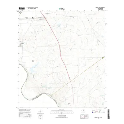
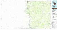
2016 Map of O'Keefe Lake
USGS Topo · Published 2016About this map
Rio Grande frontage defines this borderland landscape south of Laredo, where the international boundary between the United States and Mexico follows the river's winding course. The settlements of El Cenizo and Rio Bravo occupy the northwestern corner of the sheet, featuring a dense network of residential streets such as Margarita Ln and Patricia Ln. This 2016 survey illustrates the mix of growing residential hubs and large ranching tracts typical of South Texas.
Find a feature on this map
36 named features on this map. Tap any name to fly to it.
Don’t see what you’re looking for? This feature index may not catch every label — zoom into the map to look around manually.
Map Details
Editions of this 2016 O'Keefe Lake Map
This is the sole edition of this map. No revisions or reprints were ever made.
Other maps of this area

1933 · Becerra Creek
USGS Topo · 1:62,500

1942 · San Ygnacio
USGS Topo · 1:62,500

1956 · Laredo
USGS Topo · 1:250,000
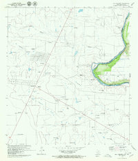
1979 · Isla Mesteno
USGS Topo · 1:24,000

1979 · Laredo South
USGS Topo · 1:24,000

1979 · O'Keefe Lake
USGS Topo · 1:24,000

1980 · Blancas Creek North
USGS Topo · 1:24,000
1980 · Blancas Creek South
USGS Topo · 1:24,000
1980 · Arroyo Salado East
USGS Topo · 1:24,000
1985 · San Ygnacio
USGS Topo · 1:100,000