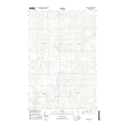
2016 Map of O'Leary Lake
USGS Topo · Published 2016About this map
O' Leary Lake and the surrounding wetlands of Itasca County define this glacial landscape, where a complex network of tributaries feeds the Prairie River and East River. The area is characterized by numerous small water bodies, including Little Moose Lake, Prairie Lake, and Bower Lake, all connected by seasonal brooks and drainage ways like Day Brook. This 2016 survey illustrates the persistent rural character of Northern Minnesota, with the Public Land Survey System grid heavily influencing the placement of local routes such as N Buck Lake Rd and Co Rd 556.
Find a feature on this map
30 named features on this map. Tap any name to fly to it.
Don’t see what you’re looking for? This feature index may not catch every label — zoom into the map to look around manually.
Map Details
Editions of this 2016 O'Leary Lake Map
This is the sole edition of this map. No revisions or reprints were ever made.
Other maps of this area
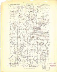
1919 · Release
USGS Topo · 1:62,500
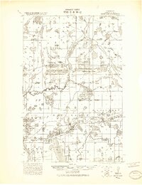
1920 · Trout Lake
USGS Topo · 1:62,500
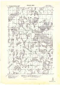
1943 · Release
USGS Topo · 1:62,500
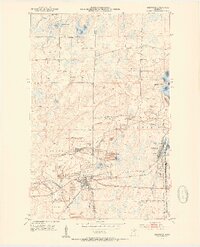
1952 · Keewatin
USGS Topo · 1:24,000
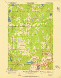
1952 · Nashwauk
USGS Topo · 1:24,000
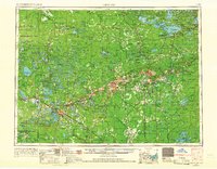
1954 · Hibbing
USGS Topo · 1:250,000
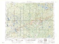
1957 · Hibbing
USGS Topo · 1:250,000
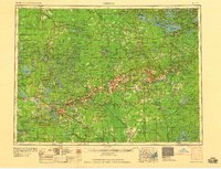
1958 · Hibbing
USGS Topo · 1:250,000
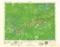
1964 · Hibbing
USGS Topo · 1:250,000
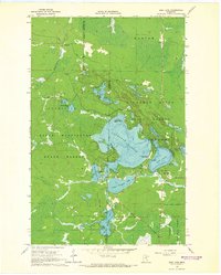
1964 · Side Lake
USGS Topo · 1:24,000