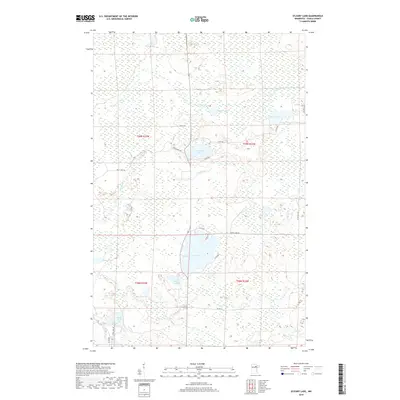
2019 Map of O'Leary Lake
USGS Topo · Published 2019About this map
Buck Lake and O' Leary Lake anchor this 2019 survey of the Minnesota Northwoods, where the landscape is defined by a dense network of wetlands and small glacial basins. The Prairie River meanders across the northern half of the sheet, connecting with Prairie Lake and the smaller Bower Lake to the east. This region of Itasca County shows a pattern of limited development, with access primarily provided by a grid of county roads and local connectors such as N Buck Lake Rd and W Stingy Ln.
Find a feature on this map
28 named features on this map. Tap any name to fly to it.
Don’t see what you’re looking for? This feature index may not catch every label — zoom into the map to look around manually.
Map Details
Editions of this 2019 O'Leary Lake Map
This is the sole edition of this map. No revisions or reprints were ever made.
Other maps of this area
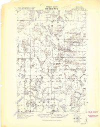
1919 · Release
USGS Topo · 1:62,500
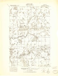
1920 · Trout Lake
USGS Topo · 1:62,500
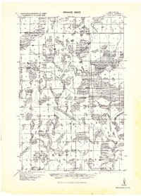
1943 · Release
USGS Topo · 1:62,500
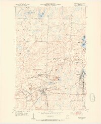
1952 · Keewatin
USGS Topo · 1:24,000
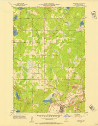
1952 · Nashwauk
USGS Topo · 1:24,000
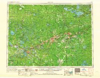
1954 · Hibbing
USGS Topo · 1:250,000
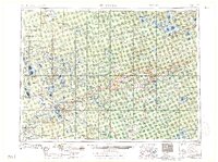
1957 · Hibbing
USGS Topo · 1:250,000
1958 · Hibbing
USGS Topo · 1:250,000
1964 · Hibbing
USGS Topo · 1:250,000
1964 · Side Lake
USGS Topo · 1:24,000