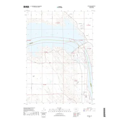
2017 Map of Oahe Dam
USGS Topo · Published 2017About this map
Oahe Dam anchors this landscape at the massive convergence of Lake Oahe and the Missouri River, marking a modern industrial threshold between the rolling uplands of Stanley County and Hughes County. Just downstream from the dam, the river transitions into Lake Sharpe, flowing past the northern edge of Fort Pierre. This geography is shaped by water management and high-plains terrain, where the rugged topography of Brown Hill and the broad expanse of Giddings Flat overlook the valley. Cultural history is etched into the landscape at the Scotty Philip Cem and along Ft Chouteau Rd, names that recall the region's early ranching and frontier trading era. The map also traces smaller drainages like Dry Run and local connectors such as Verendrye Dr, showing how modern infrastructure and residential roads like Whispering Shores have integrated with the river's historic course.
Find a feature on this map
40 named features on this map. Tap any name to fly to it.
Don’t see what you’re looking for? This feature index may not catch every label — zoom into the map to look around manually.
Map Details
Editions of this 2017 Oahe Dam Map
This is the sole edition of this map. No revisions or reprints were ever made.
Other maps of this area
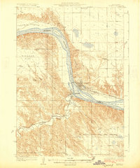
1924 · Pierre
USGS Topo · 1:62,500
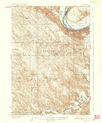
1937 · Oahe
USGS Topo · 1:62,500
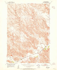
1953 · Teton
USGS Topo · 1:24,000
1953 · Pierre SW
USGS Topo · 1:24,000
1954 · Pierre
USGS Topo · 1:250,000
1958 · Pierre
USGS Topo · 1:250,000
1967 · Pierre NE
USGS Topo · 1:24,000
1967 · Okobojo SE
USGS Topo · 1:24,000
1973 · Iron Post Buttes SE
USGS Topo · 1:24,000
1973 · Pierre
USGS Topo · 1:24,000