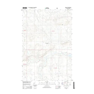
2014 Map of Oak Bluff
USGS Topo · Published 2014About this map
Ottawa National Forest dominates this section of the western Upper Peninsula, characterized by its complex network of waterways and high ground. The West Branch Ontonagon River and South Branch Ontonagon River converge near the eastern boundary, where the Victoria Reservoir serves as a major hydrological feature. The elevation rises toward the prominent ridge of Oak Bluff, overlooking a landscape carved by numerous smaller streams such as Whisky Hollow Cr and Woodpecker Cr.
Find a feature on this map
31 named features on this map. Tap any name to fly to it.
Don’t see what you’re looking for? This feature index may not catch every label — zoom into the map to look around manually.
Map Details
Editions of this 2014 Oak Bluff Map
This is the sole edition of this map. No revisions or reprints were ever made.
Other maps of this area

1949 · Matchwood NW
USGS Topo · 1:24,000

1949 · Rockland
USGS Topo · 1:62,500

1950 · Greenland
USGS Topo · 1:62,500

1951 · Rockland
USGS Topo · 1:62,500

1951 · Greenland
USGS Topo · 1:62,500

1955 · Ontonagon
USGS Topo · 1:62,500

1956 · Matchwood NW
USGS Topo · 1:24,000

1956 · Matchwood
USGS Topo · 1:62,500

1958 · Iron River
USGS Topo · 1:250,000

1960 · Iron River
USGS Topo · 1:250,000