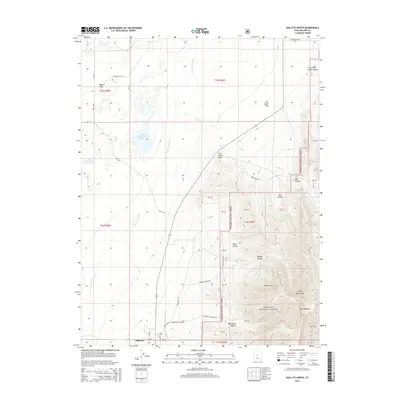
2014 Map of Oak City North
USGS Topo · Published 2014About this map
Oak City sits at the base of the Canyon Mountains in Millard County, where the transition from desert floor to high-elevation forest defines the local geography. The landscape is heavily influenced by the management of water in an arid environment, evidenced by the Central Utah Canal and the Fool Creek Reservoir Number 1. To the north, the Sevier River flows near Leamington Pass, while the eastern portion of the map rises sharply into the Fishlake National Forest. This mountainous area is cut by numerous drainages including Box Canyon and Bridge Canyon, alongside distinctive landforms like Devils Twist and Fool Creek Point. The presence of Mahogany Hollow and Pauls Meadow suggests a history of grazing and timber use within the national forest boundaries, accessible by a network of forest roads like Fool Creek Rd.
Find a feature on this map
52 named features on this map. Tap any name to fly to it.
Don’t see what you’re looking for? This feature index may not catch every label — zoom into the map to look around manually.
Map Details
Editions of this 2014 Oak City North Map
This is the sole edition of this map. No revisions or reprints were ever made.
Other maps of this area

1885 · Sevier Desert
USGS Topo · 1:250,000
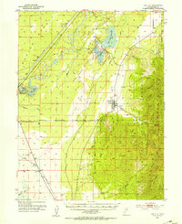
1951 · Oak City
USGS Topo · 1:62,500
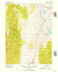
1952 · Scipio North
USGS Topo · 1:62,500

1953 · Delta
USGS Topo · 1:250,000

1958 · Delta
USGS Topo · 1:250,000

1962 · Delta
USGS Topo · 1:250,000
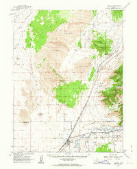
1962 · Lynndyl
USGS Topo · 1:62,500
1967 · Champlin Peak
USGS Topo · 1:24,000
1979 · Lynndyl
USGS Topo · 1:100,000
1985 · Harding
USGS Topo · 1:24,000