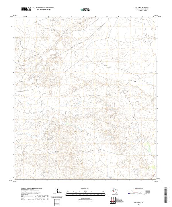
2022 Map of Oak Creek
USGS Topo · Published 2022About this map
Saucito Cr and Oak Cr define the drainage patterns of this high-altitude section of Presidio County, where the landscape is marked by deep ephemeral channels and significant elevation shifts. The survey illustrates the sparse infrastructure of the Far West Texas desert, dominated by the winding path of Ranch Rd 2810 as it traverses the plateau. One of the more distinct topographic features is Long Draw, a prominent natural drainage that cuts through the undulating terrain. This 2022 dataset provides a precise record of the contemporary land use in a region characterized by massive ranching tracts and open country, where water features like these seasonal creeks are critical to understanding the historic and modern distribution of activity across the Trans-Pecos.
Find a feature on this map
4 named features on this map. Tap any name to fly to it.
Don’t see what you’re looking for? This feature index may not catch every label — zoom into the map to look around manually.
Map Details
Editions of this 2022 Oak Creek Map
This is the sole edition of this map. No revisions or reprints were ever made.
Other maps of this area

1895 · Marfa
USGS Topo · 1:125,000

1959 · Marfa
USGS Topo · 1:250,000

1965 · Marfa
USGS Topo · 1:250,000
1983 · San Esteban Lake
USGS Topo · 1:24,000
1983 · Marfa
USGS Topo · 1:24,000
1983 · Aragon
USGS Topo · 1:24,000

1983 · Cuesta Del Burro East
USGS Topo · 1:24,000
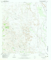
1983 · Frenchman Hills
USGS Topo · 1:24,000
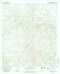
1983 · San Esteban Lake SW
USGS Topo · 1:24,000
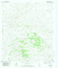
1983 · Oak Creek
USGS Topo · 1:24,000