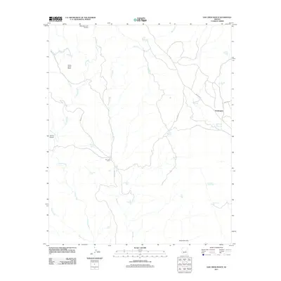
2011 Map of Oak Creek Ranch
USGS Topo · Published 2011About this map
Oak Creek Ranch and the small settlement of Grasshopper anchor this high-elevation landscape within the Fort Apache Indian Reservation. The drainage of Oak Creek and its many tributaries, including Canyon Creek and Bear Creek, define the complex topography. A distinct reliance on seasonal water management is evident through the high density of named tanks across the area, such as Oak Spring Tanks, Turkey Ridge Tank, and the intriguing Cliff Dwelling Tank.
Find a feature on this map
35 named features on this map. Tap any name to fly to it.
Don’t see what you’re looking for? This feature index may not catch every label — zoom into the map to look around manually.
Map Details
Editions of this 2011 Oak Creek Ranch Map
This is the sole edition of this map. No revisions or reprints were ever made.
Other maps of this area

1886 · Holbrook
USGS Topo · 1:250,000

1893 · Holbrook
USGS Topo · 1:250,000

1922 · Chrysotile
USGS Topo · 1:125,000

1946 · Blue House Mtn
USGS Topo · 1:62,500

1949 · McFadden Peak
USGS Topo · 1:62,500

1950 · McFadden Peak
USGS Topo · 1:62,500

1951 · Blue House Mtn
USGS Topo · 1:62,500

1954 · Holbrook
USGS Topo · 1:250,000

1954 · Mesa
USGS Topo · 1:250,000

1957 · Mesa
USGS Topo · 1:250,000