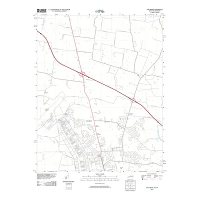
2010 Map of Oak Grove
USGS Topo · Published 2010About this map
Oak Grove stands at a significant geographic and political threshold where the State Line separates Kentucky from Tennessee. This 2010 survey reveals a landscape heavily defined by its proximity to military infrastructure, with a complex network of access points including Gate Number 1, Gate Number 4, and Gate Number 6 leading into the expansive grounds of Campbell Army Air Field. The town’s layout reflects this influence, featuring specialized thoroughfares such as Screaming Eagle Blvd and Tank Trl alongside established residential streets.
Find a feature on this map
47 named features on this map. Tap any name to fly to it.
Don’t see what you’re looking for? This feature index may not catch every label — zoom into the map to look around manually.
Map Details
Editions of this 2010 Oak Grove Map
This is the sole edition of this map. No revisions or reprints were ever made.
Other maps of this area

1944 · Clarksville
USGS Topo · 1:50,000

1950 · Pembroke
USGS Topo · 1:24,000

1951 · Pembroke
USGS Topo · 1:24,000

1951 · Church Hill
USGS Topo · 1:24,000

1951 · Hopkinsville
USGS Topo · 1:24,000

1951 · New Providence
USGS Topo · 1:24,000

1951 · Hammacksville
USGS Topo · 1:24,000

1951 · Clarksville
USGS Topo · 1:24,000

1951 · Herndon
USGS Topo · 1:24,000

1951 · Oak Grove
USGS Topo · 1:24,000