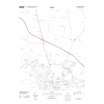
2013 Map of Oak Grove
USGS Topo · Published 2013About this map
Campbell Army Airfield (Fort Campbell) dominates the western landscape of this Kentucky-Tennessee border region, marking a significant military presence that defines the local road network and residential development. The map details the complex interior grid of the base, including numbered access points like Gate Number 4 and Gate Number 1, alongside military housing at Stryker Village. This infrastructure sits in contrast to the rural and suburban communities of Oak Grove and Hensleytown that have grown along the perimeter.
Find a feature on this map
230 named features on this map. Tap any name to fly to it.
Don’t see what you’re looking for? This feature index may not catch every label — zoom into the map to look around manually.
Map Details
Editions of this 2013 Oak Grove Map
This is the sole edition of this map. No revisions or reprints were ever made.
Other maps of this area

1944 · Clarksville
USGS Topo · 1:50,000

1950 · Pembroke
USGS Topo · 1:24,000

1951 · Pembroke
USGS Topo · 1:24,000

1951 · Church Hill
USGS Topo · 1:24,000

1951 · Hopkinsville
USGS Topo · 1:24,000

1951 · New Providence
USGS Topo · 1:24,000

1951 · Hammacksville
USGS Topo · 1:24,000

1951 · Clarksville
USGS Topo · 1:24,000

1951 · Herndon
USGS Topo · 1:24,000

1951 · Oak Grove
USGS Topo · 1:24,000