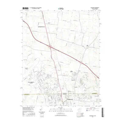
2016 Map of Oak Grove
USGS Topo · Published 2016About this map
The Kentucky Tennessee state line bisects this 2016 survey, where the suburban growth of Clarksville meets the sprawling military infrastructure of Fort Campbell North. The landscape is dominated by the strategic positioning of Campbell Army Airfield and Outlaw Field, reflecting the area's deep-rooted connection to aviation and national defense. Residential developments like Hensleytown and Kennedy cluster near the border, while the eastern portion of the map retains a more rural character, marked by the winding course of the West Fork Red River and Dry Fork. Smaller, long-standing communities such as Saint Elmo and Fidelio are connected by a web of local roads, including Bardwell-Fidelio Rd and Old St Elmo Rd. Significant local landmarks include the Good Hope Cem and educational facilities like the N Central Institute, which serve the growing population centered around Oak Grove.
Find a feature on this map
162 named features on this map. Tap any name to fly to it.
Don’t see what you’re looking for? This feature index may not catch every label — zoom into the map to look around manually.
Map Details
Editions of this 2016 Oak Grove Map
This is the sole edition of this map. No revisions or reprints were ever made.
Other maps of this area

1944 · Clarksville
USGS Topo · 1:50,000

1950 · Pembroke
USGS Topo · 1:24,000

1951 · Pembroke
USGS Topo · 1:24,000

1951 · Church Hill
USGS Topo · 1:24,000

1951 · Hopkinsville
USGS Topo · 1:24,000

1951 · New Providence
USGS Topo · 1:24,000

1951 · Hammacksville
USGS Topo · 1:24,000

1951 · Clarksville
USGS Topo · 1:24,000

1951 · Herndon
USGS Topo · 1:24,000

1951 · Oak Grove
USGS Topo · 1:24,000