
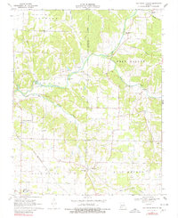
1970 Map of Oak Grove Heights
USGS Topo · Published 1971About this map
The James River and its numerous tributaries, including Panther Creek and Sawyer Creek, carve a detailed network of drainages across this Missouri landscape. The community of Oak Grove Heights serves as a local hub, while the St Louis - San Francisco railroad corridor provides a critical transportation spine through the southern half of the map. This 1970s record captures a mix of traditional rural life and modern educational development, anchored by the Logan-Rogersville High Sch near the Wilkerson Cem. Local history and genealogy are well-represented by numerous country churches such as Shiloh Ch, North Star Ch, and the Mt Sinai Chapel. The map also reveals specialized land use from the Buena Vista Track to the local Mine and a Steel Bridge crossing, illustrating the diverse economic and social infrastructure of the area.
Find a feature on this map
37 named features on this map. Tap any name to fly to it.
Don’t see what you’re looking for? This feature index may not catch every label — zoom into the map to look around manually.
Map Details
Editions of this 1970 Oak Grove Heights Map
2 editions found
Other maps of this area

1884 · Springfield
USGS Topo · 1:125,000

1886 · Springfield
USGS Topo · 1:125,000

1937 · Galloway
USGS Topo · 1:24,000

1937 · Ozark
USGS Topo · 1:48,000

1939 · Fordland
USGS Topo · 1:62,500

1942 · Fordland
USGS Topo · 1:62,500

1943 · Ozark
USGS Topo · 1:62,500

1945 · Ozark
USGS Topo · 1:62,500

1946 · Bassville
USGS Topo · 1:24,000

1946 · Niangua
USGS Topo · 1:62,500