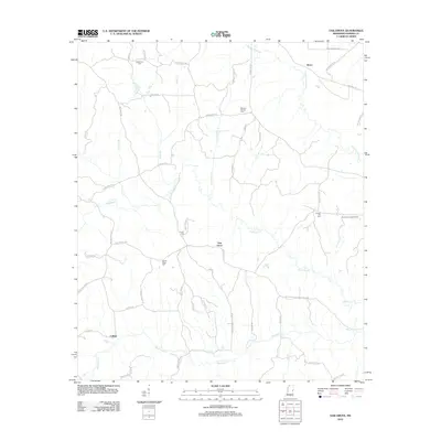
2012 Map of Oak Grove
USGS Topo · Published 2012About this map
Oak Grove and the surrounding rural communities of Akron and Cullum anchor this topographic view of eastern Kemper County, Mississippi. The landscape is defined by its deep hydrological network, with the Sucarnoochee River and Pawticfaw Cr carving distinct paths through the wooded terrain. Historically significant locations for genealogists are well-documented, including several isolated burial grounds such as Macedonia Cem and Bethany Springs Cem.
Find a feature on this map
55 named features on this map. Tap any name to fly to it.
Don’t see what you’re looking for? This feature index may not catch every label — zoom into the map to look around manually.
Map Details
Editions of this 2012 Oak Grove Map
This is the sole edition of this map. No revisions or reprints were ever made.
Other maps of this area

1953 · Meridian
USGS Topo · 1:250,000

1957 · Meridian
USGS Topo · 1:250,000

1962 · Daleville
USGS Topo · 1:24,000

1962 · Lauderdale
USGS Topo · 1:24,000

1962 · Lauderdale NW
USGS Topo · 1:24,000

1962 · Oak Grove
USGS Topo · 1:24,000

1963 · De Kalb
USGS Topo · 1:24,000

1963 · Townsend
USGS Topo · 1:24,000

1965 · Meridian
USGS Topo · 1:250,000

1973 · Scooba
USGS Topo · 1:24,000