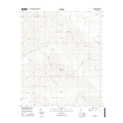
2015 Map of Oak Grove
USGS Topo · Published 2015About this map
Oak Grove sits at the heart of this landscape, where the local road network converges among the drainage basins of eastern Kemper County. The terrain is defined by the winding paths of the Sucarnoochee River in the northeast and the expansive reaches of Pawticfaw Cr and Blackwater Cr to the south. Small settlements like Akron and Cullum anchor the corners of the sheet, connected by a web of rural routes such as Firetower Rd and Porterville-Townsend Rd. This area is particularly notable for its scattered burial grounds, including Macedonia Cem, Bethany Springs Cem, and Center Ridge Cem, which suggest the deep-rooted family histories of these rural Mississippi communities. Large-scale timber management is evident through the presence of roads named for industrial interests, including Weyer Houser Rd and Georgia-Pacific Rd, highlighting the intersection of traditional settlement patterns and modern land use.
Find a feature on this map
54 named features on this map. Tap any name to fly to it.
Don’t see what you’re looking for? This feature index may not catch every label — zoom into the map to look around manually.
Map Details
Editions of this 2015 Oak Grove Map
This is the sole edition of this map. No revisions or reprints were ever made.
Other maps of this area
1953 · Meridian
USGS Topo · 1:250,000
1957 · Meridian
USGS Topo · 1:250,000
1962 · Daleville
USGS Topo · 1:24,000
1962 · Lauderdale
USGS Topo · 1:24,000
1962 · Lauderdale NW
USGS Topo · 1:24,000
1962 · Oak Grove
USGS Topo · 1:24,000
1963 · De Kalb
USGS Topo · 1:24,000
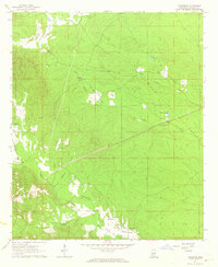
1963 · Townsend
USGS Topo · 1:24,000
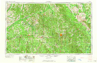
1965 · Meridian
USGS Topo · 1:250,000
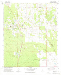
1973 · Scooba
USGS Topo · 1:24,000