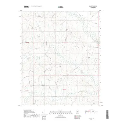
2018 Map of Oak Grove
USGS Topo · Published 2018About this map
Oak Grove sits at the heart of this East Mississippi landscape, serving as a hub for a network of rural roads that connect small settlements and family burial grounds. The terrain is defined by the drainage systems of the Sucarnoochee River in the north and the sprawling wetlands of Blackwater Creek in the south. These waterways, along with Pawticfaw Creek, create a complex mosaic of low-lying marshes and wooded ridges that have historically dictated the placement of homesteads and transport routes like DeKalb-Porterville Rd.
Find a feature on this map
57 named features on this map. Tap any name to fly to it.
Don’t see what you’re looking for? This feature index may not catch every label — zoom into the map to look around manually.
Map Details
Editions of this 2018 Oak Grove Map
This is the sole edition of this map. No revisions or reprints were ever made.
Other maps of this area
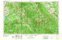
1953 · Meridian
USGS Topo · 1:250,000
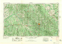
1957 · Meridian
USGS Topo · 1:250,000
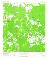
1962 · Daleville
USGS Topo · 1:24,000
1962 · Lauderdale
USGS Topo · 1:24,000
1962 · Lauderdale NW
USGS Topo · 1:24,000
1962 · Oak Grove
USGS Topo · 1:24,000
1963 · De Kalb
USGS Topo · 1:24,000
1963 · Townsend
USGS Topo · 1:24,000
1965 · Meridian
USGS Topo · 1:250,000
1973 · Scooba
USGS Topo · 1:24,000