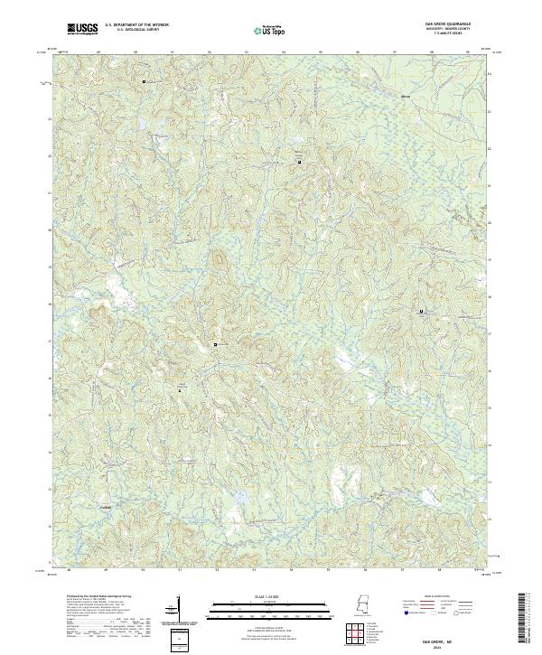
2024 Map of Oak Grove
USGS Topo · Published 2024About this map
The Sucarnoochee River and Pawticfaw Creek drain this wooded corner of Mississippi, defining a landscape of low ridges and stream valleys near the small settlements of Akron and Cullum. The survey highlights a persistent pattern of rural community life, marked by numerous family and community burial grounds such as Bethany Springs Cem, Macedonia Cem, and Center Ridge Cem. The road network is largely comprised of local connectors like DeKalb-Porterville Rd and Townsend-Porterville Rd, which link scattered residences and timber tracts. The presence of roads named for specific families and destinations, such as Jack Sanders Rd and Shady Grove Church Rd, suggests a long-standing social geography where landmarks are tied to the people who settled these townships.
Find a feature on this map
54 named features on this map. Tap any name to fly to it.
Don’t see what you’re looking for? This feature index may not catch every label — zoom into the map to look around manually.
Map Details
Editions of this 2024 Oak Grove Map
This is the sole edition of this map. No revisions or reprints were ever made.
Other maps of this area

1953 · Meridian
USGS Topo · 1:250,000

1957 · Meridian
USGS Topo · 1:250,000

1962 · Daleville
USGS Topo · 1:24,000

1962 · Lauderdale
USGS Topo · 1:24,000

1962 · Lauderdale NW
USGS Topo · 1:24,000

1962 · Oak Grove
USGS Topo · 1:24,000

1963 · De Kalb
USGS Topo · 1:24,000

1963 · Townsend
USGS Topo · 1:24,000

1965 · Meridian
USGS Topo · 1:250,000

1973 · Scooba
USGS Topo · 1:24,000