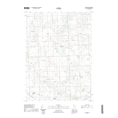
2019 Map of Oak Grove
USGS Topo · Published 2019About this map
The South Branch Shiawassee River meanders across this portion of Livingston County, shaping a landscape defined by its glacial hydrology and agricultural roots. At the center of this rural network lies the settlement of Oak Grove, situated near the confluence of the river and Bogue Cr. The map reveals a high density of small lakes and wetlands, characteristic of the local drainage patterns that include Indian Lake and Sprague Cr.
Find a feature on this map
105 named features on this map. Tap any name to fly to it.
Don’t see what you’re looking for? This feature index may not catch every label — zoom into the map to look around manually.
Map Details
Editions of this 2019 Oak Grove Map
This is the sole edition of this map. No revisions or reprints were ever made.
Other maps of this area

1907 · Howell
USGS Topo · 1:62,500

1908 · Fowlerville
USGS Topo · 1:62,500

1909 · Howell
USGS Topo · 1:62,500

1910 · Fowlerville
USGS Topo · 1:62,500

1922 · Durand
USGS Topo · 1:62,500

1926 · Corunna
USGS Topo · 1:62,500

1929 · Corunna
USGS Topo · 1:62,500

1943 · Durand
USGS Topo · 1:62,500

1944 · Corunna
USGS Topo · 1:62,500

1954 · Detroit
USGS Topo · 1:250,000