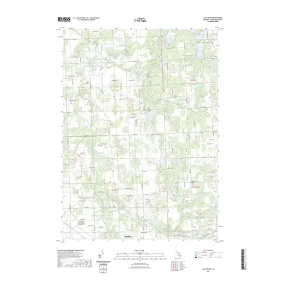
2023 Map of Oak Grove
USGS Topo · Published 2023About this map
The South Branch Shiawassee River snakes through the center of this Livingston County landscape, defining the rural character of the region north of Howell. This modern topographic study shows the small community of Oak Grove situated along Faussett Rd, surrounded by a network of local thoroughfares such as Chase Lake Rd and W Allen Rd. The terrain is marked by numerous small wetlands and drainage creeks including Sprague Creek and Bogue Creek. For those researching local heritage, several historic burial grounds are noted, including Sanford Cem, Pioneer Cem, and Van Keuren Cem. The southwestern portion of the map is dominated by the Livingston County Spencer J Hardy Airport, showing the intersection of traditional agricultural land use and contemporary transportation infrastructure.
Find a feature on this map
67 named features on this map. Tap any name to fly to it.
Don’t see what you’re looking for? This feature index may not catch every label — zoom into the map to look around manually.
Map Details
Editions of this 2023 Oak Grove Map
This is the sole edition of this map. No revisions or reprints were ever made.
Other maps of this area

1907 · Howell
USGS Topo · 1:62,500

1908 · Fowlerville
USGS Topo · 1:62,500

1909 · Howell
USGS Topo · 1:62,500

1910 · Fowlerville
USGS Topo · 1:62,500

1922 · Durand
USGS Topo · 1:62,500

1926 · Corunna
USGS Topo · 1:62,500

1929 · Corunna
USGS Topo · 1:62,500

1943 · Durand
USGS Topo · 1:62,500

1944 · Corunna
USGS Topo · 1:62,500

1954 · Detroit
USGS Topo · 1:250,000