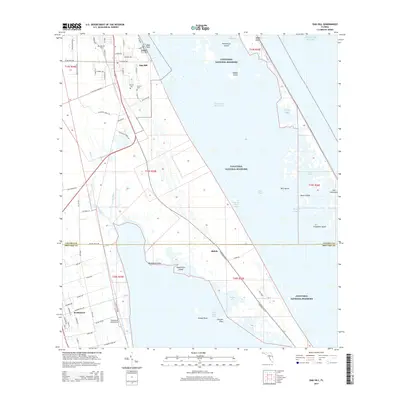
2015 Map of Oak Hill
USGS Topo · Published 2015About this map
Oak Hill and the northern reaches of the Indian River Lagoon anchor this coastal survey, where the intricate wetlands of the Florida shoreline meet established citrus-era settlements. The map highlights a unique local dichotomy near the town center with the presence of Saints Cem and Sinners Cem, located just south of Oak Hill Cem. This concentration of distinct burial grounds offers a specific point of interest for genealogists and local historians studying the social fabric of the area.
Find a feature on this map
59 named features on this map. Tap any name to fly to it.
Don’t see what you’re looking for? This feature index may not catch every label — zoom into the map to look around manually.
Map Details
Editions of this 2015 Oak Hill Map
This is the sole edition of this map. No revisions or reprints were ever made.
Other maps of this area
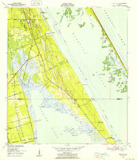
1949 · Oak Hill
USGS Topo · 1:24,000
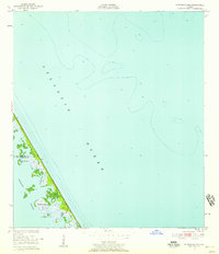
1949 · Pardon Island
USGS Topo · 1:24,000
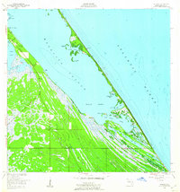
1949 · Wilson
USGS Topo · 1:24,000
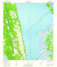
1949 · Mims
USGS Topo · 1:24,000
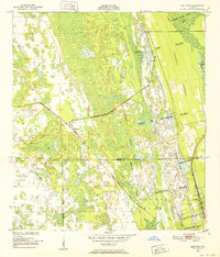
1950 · Maytown
USGS Topo · 1:24,000
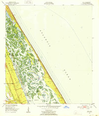
1950 · Ariel
USGS Topo · 1:24,000
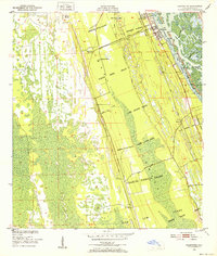
1950 · Edgewater
USGS Topo · 1:24,000
1950 · Aurantia
USGS Topo · 1:24,000
1952 · Mims
USGS Topo · 1:24,000
1952 · Wilson
USGS Topo · 1:24,000