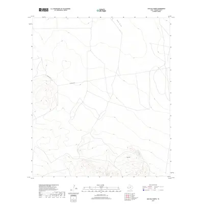
2019 Map of Oak Hills North
USGS Topo · Published 2019About this map
Oak Hills dominate the southern portion of this Presidio County landscape, where elevation contours reveal a series of ridges and valleys typical of the Trans-Pecos region. In the northern reaches, the terrain levels out into a wide basin drained by Ryan Draw, a significant watercourse that carves its way through the highland flats. This modern survey illustrates a remote ranching environment defined by limited infrastructure, where access is provided primarily by Richards Gate Rd and Richard Gates Rd. The sparse placement of these routes suggests a landscape of large-scale landholdings and open range. As part of a series produced by the U.S. Geological Survey, this sheet provides a clear spatial perspective of the natural drainage patterns and topographical transitions that characterize the high desert south of the Ryan siding area.
Find a feature on this map
4 named features on this map. Tap any name to fly to it.
Don’t see what you’re looking for? This feature index may not catch every label — zoom into the map to look around manually.
Map Details
Editions of this 2019 Oak Hills North Map
This is the sole edition of this map. No revisions or reprints were ever made.
Other maps of this area
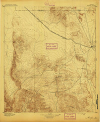
1895 · Marfa
USGS Topo · 1:125,000
1959 · Marfa
USGS Topo · 1:250,000
1965 · Marfa
USGS Topo · 1:250,000
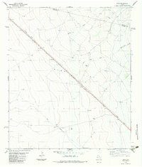
1983 · Ryan
USGS Topo · 1:24,000
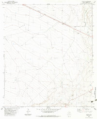
1983 · Aragon
USGS Topo · 1:24,000
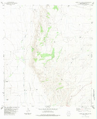
1983 · Cuesta Del Burro NW
USGS Topo · 1:24,000
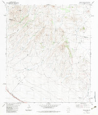
1983 · Burro Draw
USGS Topo · 1:24,000
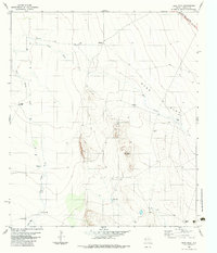
1983 · Deer Peak
USGS Topo · 1:24,000
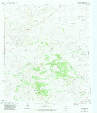
1983 · Oak Creek
USGS Topo · 1:24,000
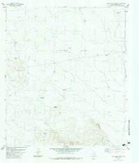
1983 · Oak Hills North
USGS Topo · 1:24,000