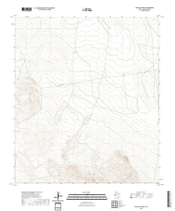
2022 Map of Oak Hills North
USGS Topo · Published 2022About this map
Oak Hills dominate the southern portion of this Presidio County landscape, where elevation contours rise sharply from the surrounding desert flats. This modern topography reveals a sparsely populated terrain defined primarily by its drainage patterns and limited road access. Ryan Draw cuts through the northern section of the map, serving as a primary conduit for seasonal water flow in an otherwise arid environment. The presence of Richards Gate Rd and Richard Gates Rd suggests the persistence of ranching infrastructure and private land boundaries in this remote part of West Texas. These routes provide the only significant markers of human activity across the wide, undulating topography, illustrating how geographic isolation and water management continue to shape the character of the Big Bend region.
Find a feature on this map
4 named features on this map. Tap any name to fly to it.
Don’t see what you’re looking for? This feature index may not catch every label — zoom into the map to look around manually.
Map Details
Editions of this 2022 Oak Hills North Map
This is the sole edition of this map. No revisions or reprints were ever made.
Other maps of this area

1895 · Marfa
USGS Topo · 1:125,000

1959 · Marfa
USGS Topo · 1:250,000

1965 · Marfa
USGS Topo · 1:250,000
1983 · Ryan
USGS Topo · 1:24,000
1983 · Aragon
USGS Topo · 1:24,000
1983 · Cuesta Del Burro NW
USGS Topo · 1:24,000
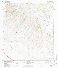
1983 · Burro Draw
USGS Topo · 1:24,000
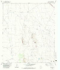
1983 · Deer Peak
USGS Topo · 1:24,000
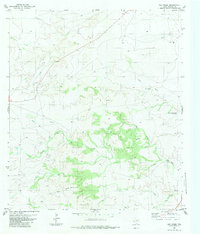
1983 · Oak Creek
USGS Topo · 1:24,000
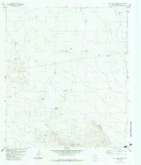
1983 · Oak Hills North
USGS Topo · 1:24,000