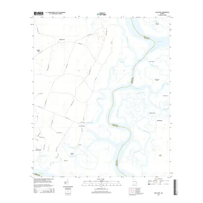
2014 Map of Oak Level
USGS Topo · Published 2014About this map
Buckhead and Oak Level sit at the intersection of Georgia’s coastal lowlands and a complex network of tidewater rivers and salt marshes. The Ogeechee River and Bear River define the winding county boundaries between Chatham and Bryan, while the Intracoastal Waterway cuts through the Florida Passage to provide a navigable artery for coastal traffic. This landscape is a mosaic of massive coastal landforms like Ossabaw Island and smaller marsh islands such as Queen Bess Island and Cabbage Island.
Find a feature on this map
60 named features on this map. Tap any name to fly to it.
Don’t see what you’re looking for? This feature index may not catch every label — zoom into the map to look around manually.
Map Details
Editions of this 2014 Oak Level Map
This is the sole edition of this map. No revisions or reprints were ever made.
Other maps of this area
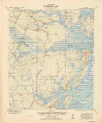
1920 · Sapelo River
USGS Topo · 1:62,500
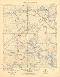
1920 · Limerick
USGS Topo · 1:62,500
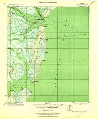
1928 · St Catherines Island
USGS Topo · 1:62,500
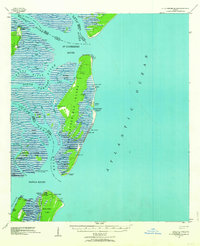
1943 · St Catherines Island
USGS Topo · 1:62,500
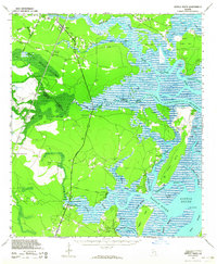
1943 · Sapelo River
USGS Topo · 1:62,500
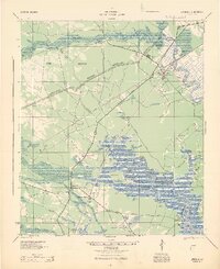
1944 · Limerick
USGS Topo · 1:62,500
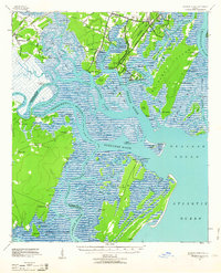
1944 · Ossabaw Island
USGS Topo · 1:62,500
1945 · St. Catherine's Island
USGS Topo · 1:62,500
1945 · Ossabaw Island
USGS Topo · 1:62,500
1945 · Sapelo River
USGS Topo · 1:62,500