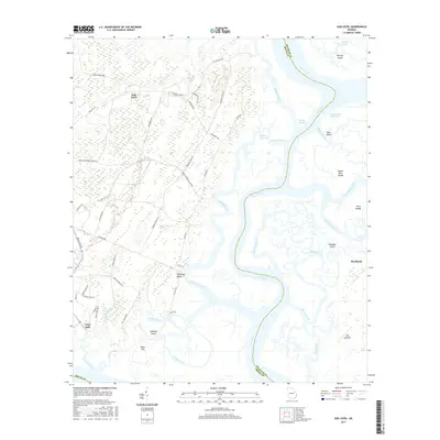
2017 Map of Oak Level
USGS Topo · Published 2017About this map
The Ogeechee River and its intricate network of coastal waterways dominate this landscape along the boundary of Chatham and Bryan counties. The map captures a complex environment of salt marshes and tidal channels, where the Intracoastal Waterway threads through the Florida Passage and Bear River. High ground is found at settlements like Oak Level and Fancy Hall, while the marsh is punctuated by named landforms such as Cabbage Island, Queen Bess Island, and Harveys Island. Historical land use is evident in the network of local roads and trails, including Sammy Brown Rd and the Redbird Creek Trl. The geography reflects the transitional nature of the Georgia coast, where mainland forests meet the expansive waters of Kilkenny Creek and the tidal reaches of Ossabaw Island.
Find a feature on this map
61 named features on this map. Tap any name to fly to it.
Don’t see what you’re looking for? This feature index may not catch every label — zoom into the map to look around manually.
Map Details
Editions of this 2017 Oak Level Map
This is the sole edition of this map. No revisions or reprints were ever made.
Other maps of this area
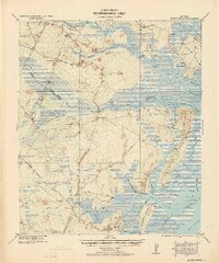
1920 · Sapelo River
USGS Topo · 1:62,500
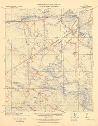
1920 · Limerick
USGS Topo · 1:62,500
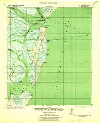
1928 · St Catherines Island
USGS Topo · 1:62,500
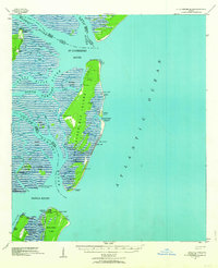
1943 · St Catherines Island
USGS Topo · 1:62,500
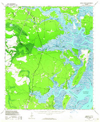
1943 · Sapelo River
USGS Topo · 1:62,500
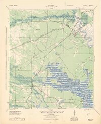
1944 · Limerick
USGS Topo · 1:62,500
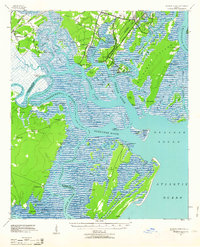
1944 · Ossabaw Island
USGS Topo · 1:62,500
1945 · St. Catherine's Island
USGS Topo · 1:62,500
1945 · Ossabaw Island
USGS Topo · 1:62,500
1945 · Sapelo River
USGS Topo · 1:62,500